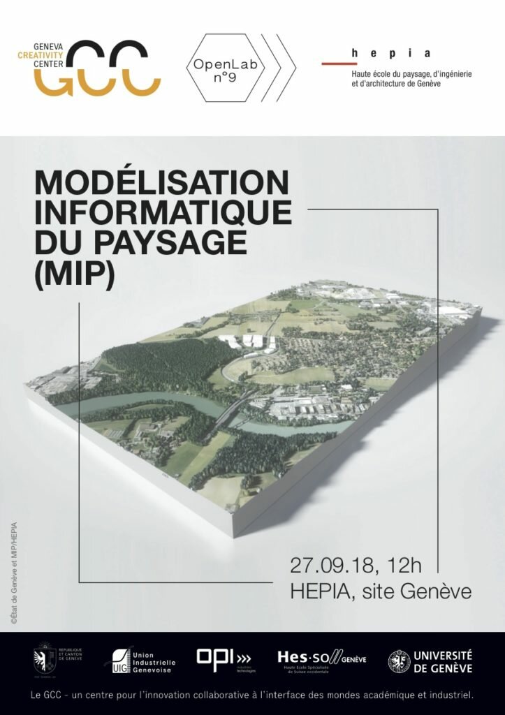
 MODÉLISATION INFORMATIQUE DU PAYSAGE (MIP)
The research group Modélisation Informatique du Paysage (MIP) of HEPIA Geneva (member of the HES-SO University of Applied Sciences and Arts Western Switzerland) is specialized in Geographical Information Systems (GIS) and representation in the three dimensions (3D) of landscapes through the different scales of a territory.
The objective of the research group is to build bridges between the GIS world and the 3D world with the production of virtual models allowing then to generate quality media (images, films, 3D printing, etc.), while keeping the link with their attribute data, the accuracy and rigour of the geographical data.
The MIP group develops innovative technological solutions in the 3D modeling of the territory through the analysis of structured data (mobility simulation, lighting, thermal buildings, pollution, hydrology, solar, etc.) allowing temporal analysis of the territory and historical exploration of landscapes.
These models are also useful as decision support tools, both for the designers and the building owners. They are also valuable communication tools.
This OpenLab offered the opportunity to exchange with the MIP group and discover its services and skills.
DOWNLOADS |
|
| Program | HERE |
| Presentations |
PRESENTATION Olivier Donzé (HEPIA) SYSTÈME D’INFORMATION GÉOGRAPHIQUE Alain Dubois (HEPIA) PRESENTATION Benjamin Dupont Roy (HEPIA) |
Photo Gallery
27/09/2018
12:00 pm - 2:00 pm
Location
hepia, Rue de la Prairie 4


